


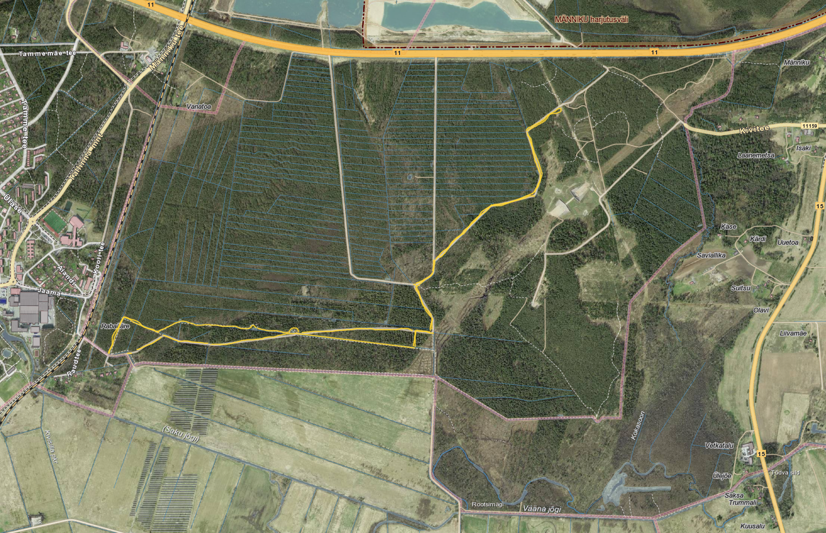
This fully lit trail measures 2.7 km. There are also unlit trails in the Saku bog forest that measure 0.7 km, 2 km, 3.5 km and 7 km. The starting point of these trails is close to Saku train station – across the railway line in the direction of the forest. Signs at the intersection in front of the station will help you find your way.
Both at the starting point and halfway along the trail you will find information boards with maps, while key points along the trail are marked with special signs. The longest marked trail measures 7 km, but by turning back at various points you can complete circuits of 3.5 km, 2 km or the shortest, 0.7 km.
There is also a trail for walkers among the trees that run along the edge of the field (around 3 km of which is marked with signs). The trail is open year-round and tends to be well maintained, even during periods of snow. In this way, those out for a walk can enjoy the forest without stepping into the path of skiers.